Antique Maps of the East Indies

Richard Nicholson of Chester
A World of Antique Maps and Prints
Established in 1961
All the Maps on this page are guaranteed to be genuine early specimens
published in or around the year stated
18th Century
-

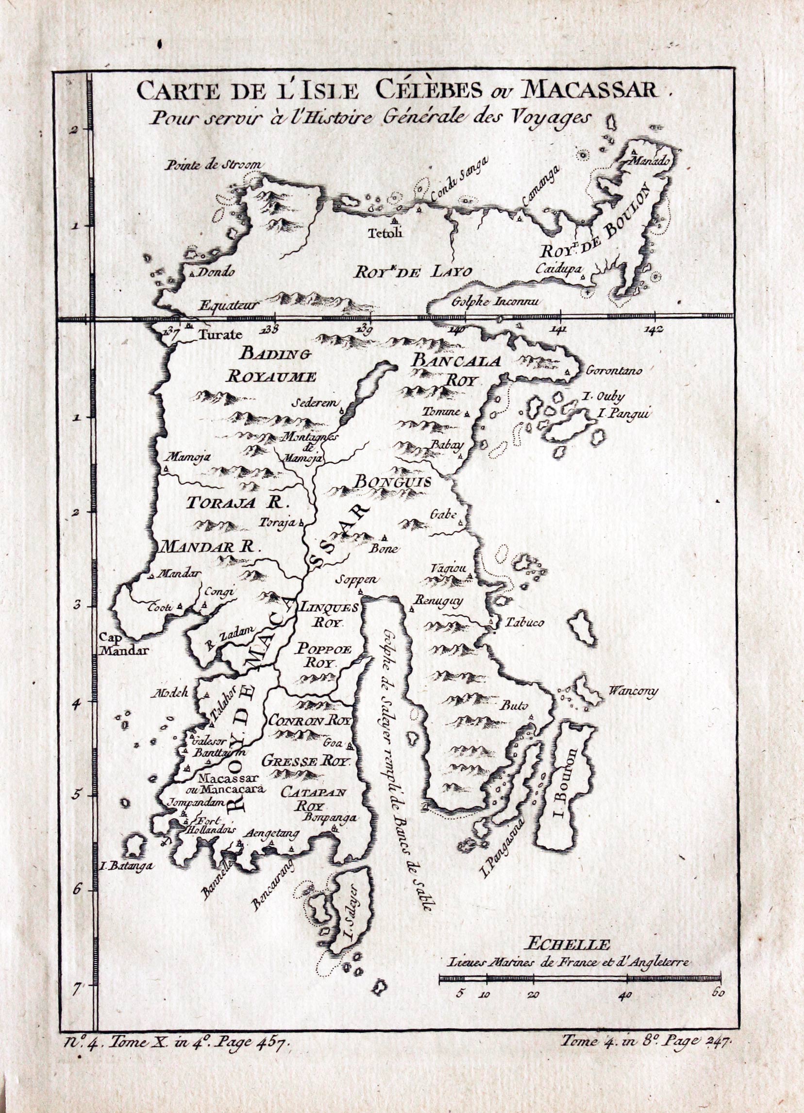
Sulawesi, Jacques Nicolas Bellin, c.1760
29314 Sulawesi, Jacques Nicolas Bellin, c.1760. Price: 30.00
CARTE DE L'ISLE CELEBES OU MACASSAR
An engraved map of Sulawesi formerly known as Celebes situated between Borneo and Maluku Islands. 5 3/4 x 8 inches. Uncoloured. Good condition.
The first Europeans to visit the island were the Portuguese in 1525. The Dutch arrived in 1605 followed by the English who established a factory there. Now part of the Republic of Indonesia
18th Century
-
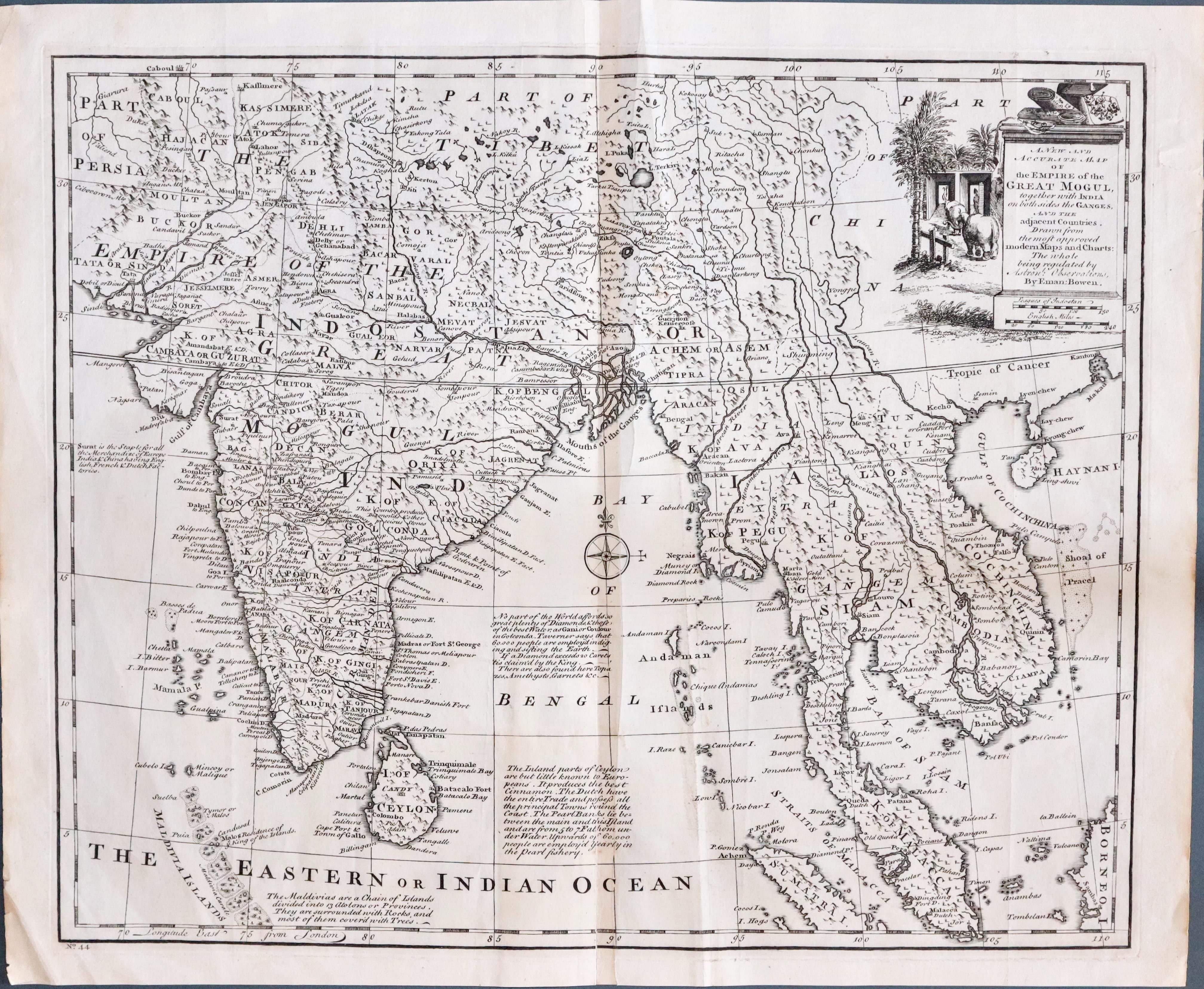
East Indies, Thomas Bowen 1747
33356 East Indies, Thomas Bowen, 1747. Price: 120.00
A NEW AND ACCURATE MAP OF THE EMPIRE OF THE GREAT MOGUL TOGETHER WITH INDIA ON BOTH SIDES THE GANGES AND THE ADJACENT COUNTRIES....
An interesting engraved map showing India, Ceylon and parts of South East Asia including Siam, Malacca and Cambodia. The title is displayed within a pictorial cartouche with two scales. 16 1/2 x 13 3/4 inches. Original centre fold. Uncoloured. Three small tears in the blank margins repaired. Split at the bottom of the centre fold with old repair on verso. Very light vertical crease to the right hand side of the centre fold and another on the left hand side corner. Good sized blank margins.
From: A Complete System of Geography
19th Century
-
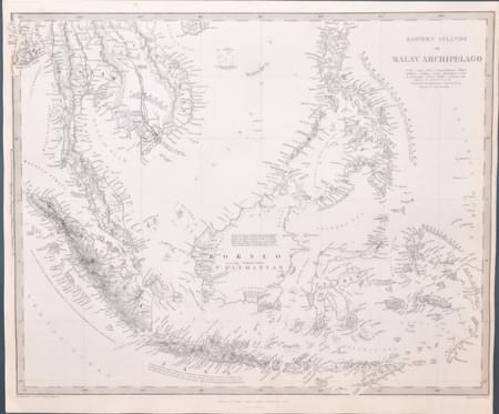
SDUK map of the East Indies 1836
33395 East Indies, S.D.U.K. c.1844. Price: 85.00
EAST ISLANDS OR MALAY ARCHIPELAGO
A detailed engraved map including Thailand, Laos, Malaysia, Sumatra, Java, Borneo and the Philippines. The early edition engraved by J. & C. Walker and published by Baldwin & Craddock , dated beneath 1st December 1836. 15 1/2 x 12 1/2 inches. Uncoloured. Plain on verso. Good clean condition. Straight from the atlas and not previously sold as a single map.
Published by Society for Diffusion of Useful Knowledge
Late 18th Century
-
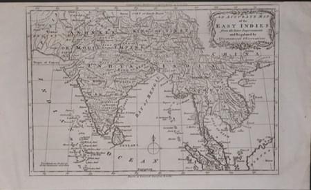
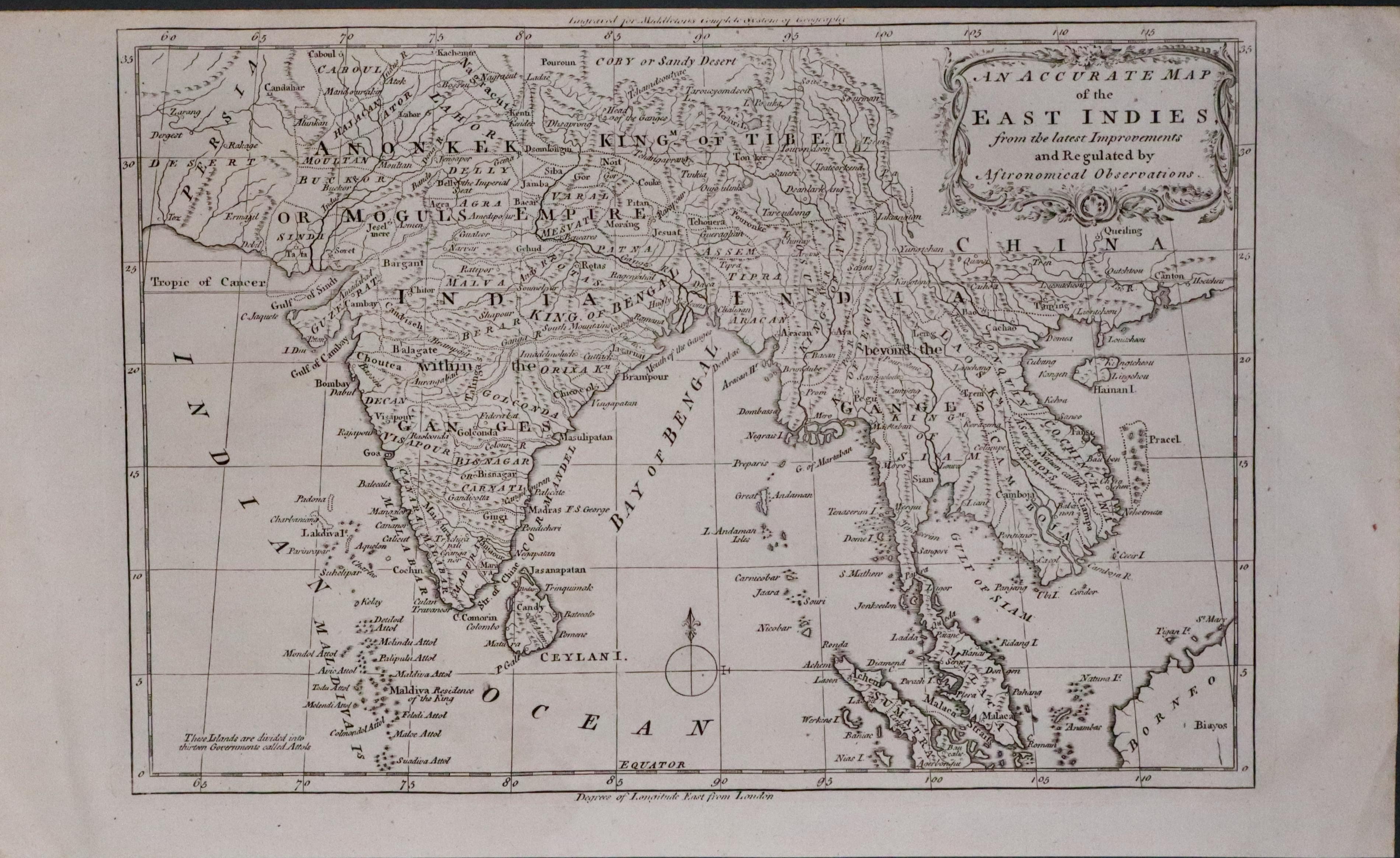
East Indies Charles Theadore Middleton c.1779
33632 East Indies, Charles Theadore Middleton, c.1779. Price: 64.00
AN ACCURATE MAP OF THE EAST INDIES FROM THE LATEST IMPROVEMENTS AND REGULATED BY ASTRONOMICAL OBSERVATIONS
An interesting engraved map of the region embellished with a rococo title cartouche. Uncoloured. 11 1/4 x 7 3/4 inches. Small top blan margin otherwise good condition.
From: Complete System of Geography
